Rollins Pass Road Status
The Rollins Pass Road Status (Corona Pass Road Status) and road conditions information is updated every week of the year and often daily. Last update: Friday, April 26, 2024 at 10:01am MT.
This Rollins Pass Road Status (Corona Pass Road Status) page is updated every week of the year and often daily. The page is updated as, when, or if conditions change; please note that closures due to search and rescue/recovery efforts, wildfires on or near the pass, avalanches, extreme fire conditions, washouts, downed trees, rockfalls, snow slides, mudslides, late season and early season snowstorms, weather, stuck vehicles blocking the road, or other reasons are always possible—we’ve seen it all! Permanent closures and Stage 3 fire closure information is collected from official sources; all other fluid data on this page is aggregated from direct observations by the Preserve Rollins Pass team and/or crowd-sourced information available and provided to Preserve Rollins Pass. You can help: to share an update with us about ground conditions, submit a photograph/video, and/or to propose an edit, email [email protected].
Currently:
Transitional Season
Typically now through early/mid-June; see commentary below
Currently: Transitional Season (Late Spring & Early Summer)—typically early/mid-April through early/mid-June each year

Rollins Pass Road Status | Transitional Season Commentary for Late Spring & Early Summer:
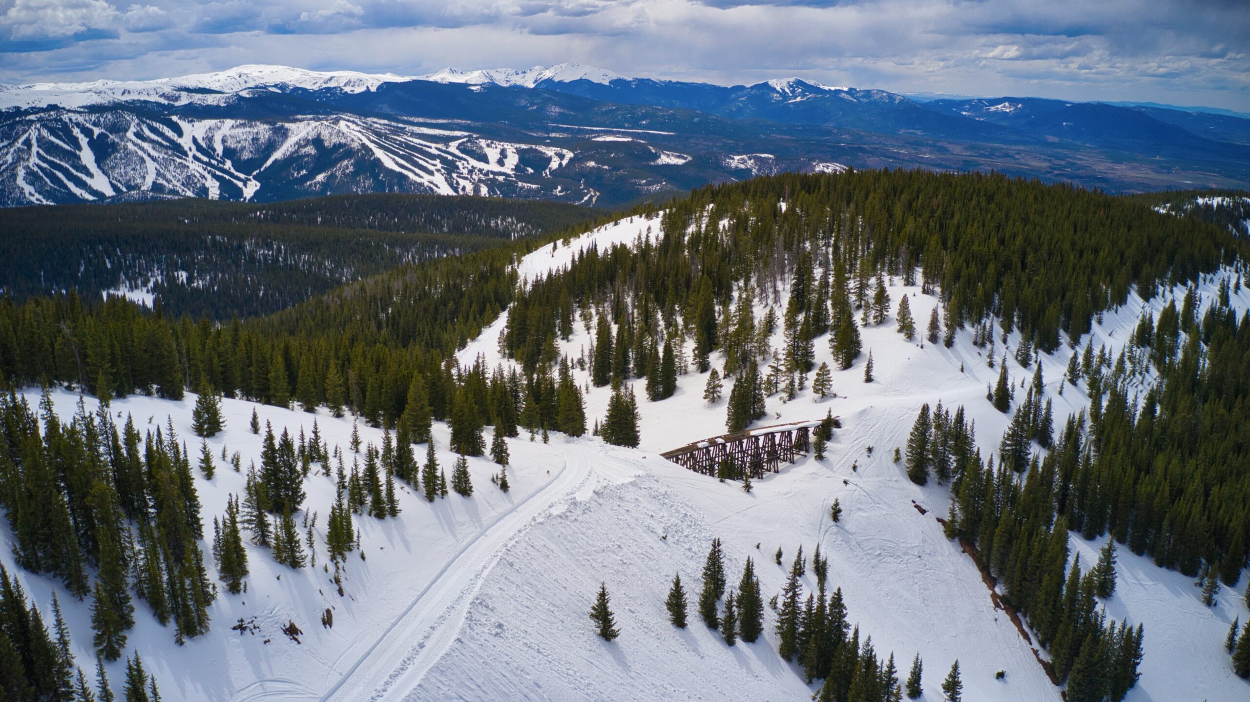
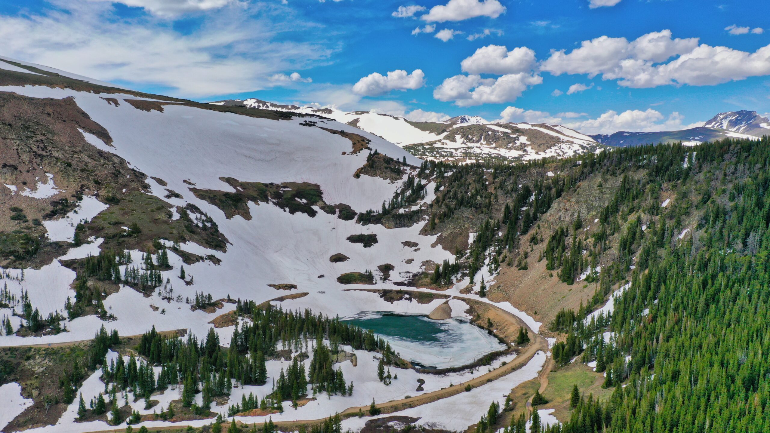
From early/mid-April through early/mid-June, Rollins Pass is a landscape in transition: there is generally not enough good snow for snowmobiling while at the same time, not enough of the road has melted out for wheel-to-ground vehicles (including motor bikes) to get very far. Avalanche danger still exists and backcountry forecasts for Rollins Pass should be consulted. No matter how dry and promising the initial grades of the west or east sides look, there is always an impassable snow drift around the next bend, particularly at higher elevations. Over the past decade, Rollins Pass (Corona Pass) has never been open nor passable by the Memorial Day holiday weekend. To track the melt, click here.
Why does it take so long to melt? On average, the last day of frost in Denver (at 5,280 feet) is May 5th each year. Atop Rollins Pass, where the elevation surpasses Denver’s by more than 2.2 times, the snow’s reluctance to melt serves as a stark reminder of altitude’s effect on the pace of seasonal change.
When this transitional season is shown as ‘active,’ know that if you venture out, you likely will not make it to the highest or to the higher elevations. On the west side, gates will be closed either at the entrance, midway, or at the trestle—gates are scheduled to open June 15th, and this is sometimes delayed a week or more due to late runoff. On the east side, vehicles get blocked/stuck before summer officially begins on Rollins Pass. This page will be updated often, starting in early June, as the next major season approaches and/or conditions improve for summer activities to take place. Typically, this transitional season lasts approximately two months before summer starts.
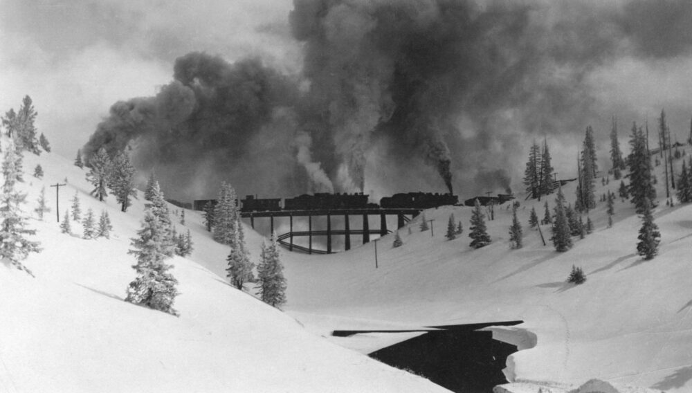
That’s it!
You’re up to date on current status for this season.
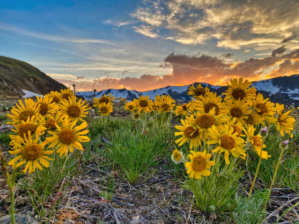
What do upcoming seasons on Rollins Pass look like?
Read on.
Up Next: Summer/Autumn Season—typically mid/late June through early/mid/late October each year
FIRE BANS/RESTRICTIONS AND RED FLAG INFORMATION:
Just one unattended campfire can completely destroy the spectacular setting of Rollins Pass and adjacent areas. Please recreate with care. Read more here.↗️
When fire bans/restrictions are in effect, no campfires are allowed—there are no ‘developed’ campsites on either side of Rollins Pass, no matter how well established a site or a rock fire ring appears. Dispersed (or undeveloped) campsites do not have metal fire rings, picnic tables, numbered posts, garbage service, nor toilets, and visitors are required to properly store and pack out all food and trash to prevent negative interactions with bears and other wildlife. Rocks do not make a permanent fire ring.
Review details of any fire bans and fire restrictions:
US Forest Service | Grand County | Gilpin County | Boulder County
Read more about: Fire Restrictions 101 and Red Flag Warnings | Campfire Safety Tips
Wilderness Campfire Restrictions: Campfires are always prohibited in the James Peak Wilderness per this US Forest Service page. Campfires are also prohibited in the Indian Peaks Wilderness on/near Rollins Pass by King Lake, Betty Lake, Bob Lake, Buttermilk Falls, Skyscraper Reservoir, Woodland Lake, and along the South Fork of the Middle Boulder Creek—these areas are in the Woodland BZ and Middle Boulder BZ where campfires are prohibited per this US Forest Service map; the only exception is on the ridge west of the Continental Divide (several hundred feet above Corona Lake), known as the Columbine Backcountry Zone (BZ).
Per this USFS Regional Order, “possessing, discharging, or using any kind of firework or pyrotechnic device” is prohibited in the Arapaho and Roosevelt National Forest. Exploding targets, tracer bullets, and fireworks are never allowed on National Forest System lands.
Rollins Pass Road Status | Summer/Autumn Commentary:
Rollins Pass West: Expect more frequent updates as mid-June approaches. Over the past decade, Rollins Pass (Corona Pass) has never been open nor passable by the Memorial Day holiday weekend. Most years, the road is not passable above the Riflesight Notch Trestle until later in June.
Campfires are always prohibited in the Indian Peaks Wilderness near King Lake, Bob and Betty Lakes, Skyscraper Reservoir, and near the South Fork of the Middle Boulder Creek—here’s the map.
Rollins Pass East: Expect more frequent updates as mid-June approaches. Over the past decade, Rollins Pass (Corona Pass) has never been open nor passable by the Memorial Day holiday weekend. Most years, the road is not passable above Yankee Doodle Lake until early July.
Campfires are always prohibited in the James Peak Wilderness.
Detailed route information is provided for each side of Rollins Pass, further below on this page.
Railroad workers more than a century ago consistently mentioned high winds on Rollins Pass. Times haven’t changed; please follow fire restrictions and, if allowed, keep any campfires small so the wind doesn’t spread fire and threaten the beauty and history of Rollins Pass. Drown your campfire with water, stir the embers with wet soil—ensuring all is soaked—then drown everything again. Everything (including the rock fire ring) should be cool to the touch—if it’s too hot to touch, it is too hot to leave. Learn more here.
Did you know this page also provides updates for the winter/spring season on Rollins Pass?
Status of Autumn Colors (aspens, willows, as well as alpine and tundra grasses) on Rollins Pass:
Offseason (active) | No/Low Fall Colors | Moderate Fall Colors | High/Peak Fall Colors | Past Peak Fall Colors
The first hints of autumn in the high alpine region typically occur between the last week in July and the first week in August when tundra grasses begin to change colors. Aspen trees on the lower portions of the pass tend to reach peak colors mid-September.
Then: Transitional Season (Late Autumn & Early Winter)—typically mid/late October through late November or early December each year
Rollins Pass Road Status | Transitional Season Commentary for Late Autumn & Early Winter:
After the first few snowstorms in late September, October, or early November, there becomes too much snow for driving and yet not quite enough for snowmobiling. No matter how dry and promising the initial grades of the west or east sides look, there is always an impassable snow drift around the next bend, particularly at higher elevations. Rollins Pass becomes a landscape in transition. Avalanche danger is always a possibility; backcountry forecasts for Rollins Pass should be consulted.
When this transitional season is shown as ‘active,’ know that if you venture out, you likely will not make it to the highest or to the higher elevations. On either side, vehicles get blocked/stuck after autumn officially ends on Rollins Pass. On the west side, gates will be closed either at the entrance, midway, or at the trestle; and gates are always scheduled to close regardless of road conditions on November 15th. The Colorado Avalanche Information Center (CAIC) typically begins to publish avalanche forecasts beginning in early November. This page will be updated often as the next major season approaches and/or conditions improve for winter activities to take place. Typically, this transitional season lasts approximately 6-8 weeks before winter starts.
Later this year: Winter/Spring Season—typically late November or early December through early/mid-April each year
Rollins Pass Road Status | Winter/Spring Commentary:
A consistent blanket of 6 inches (or more) of snow is needed for snowmobiles or any other over-the-snow motorized vehicles. This US Forest Service depth requirement not only helps keep your machine from getting damaged but also helps preserve the underlying road as well. The west side of Rollins Pass (near Winter Park) is designated as a snowmobile trail only, meaning no cars or trucks—only snowmobiles or over the snow vehicles are allowed. (An over-snow vehicle is a motor vehicle that is designated for use over snow and that runs on a track or tracks and/or a ski or skis while in use over snow.)
⚠️ There are many blind curves—expect a snowmobile, person (skier, snowboarder, snowshoer), or animal around each one and please keep within the speed limit—multiple snowmobile wrecks have occured this season. ⚠️
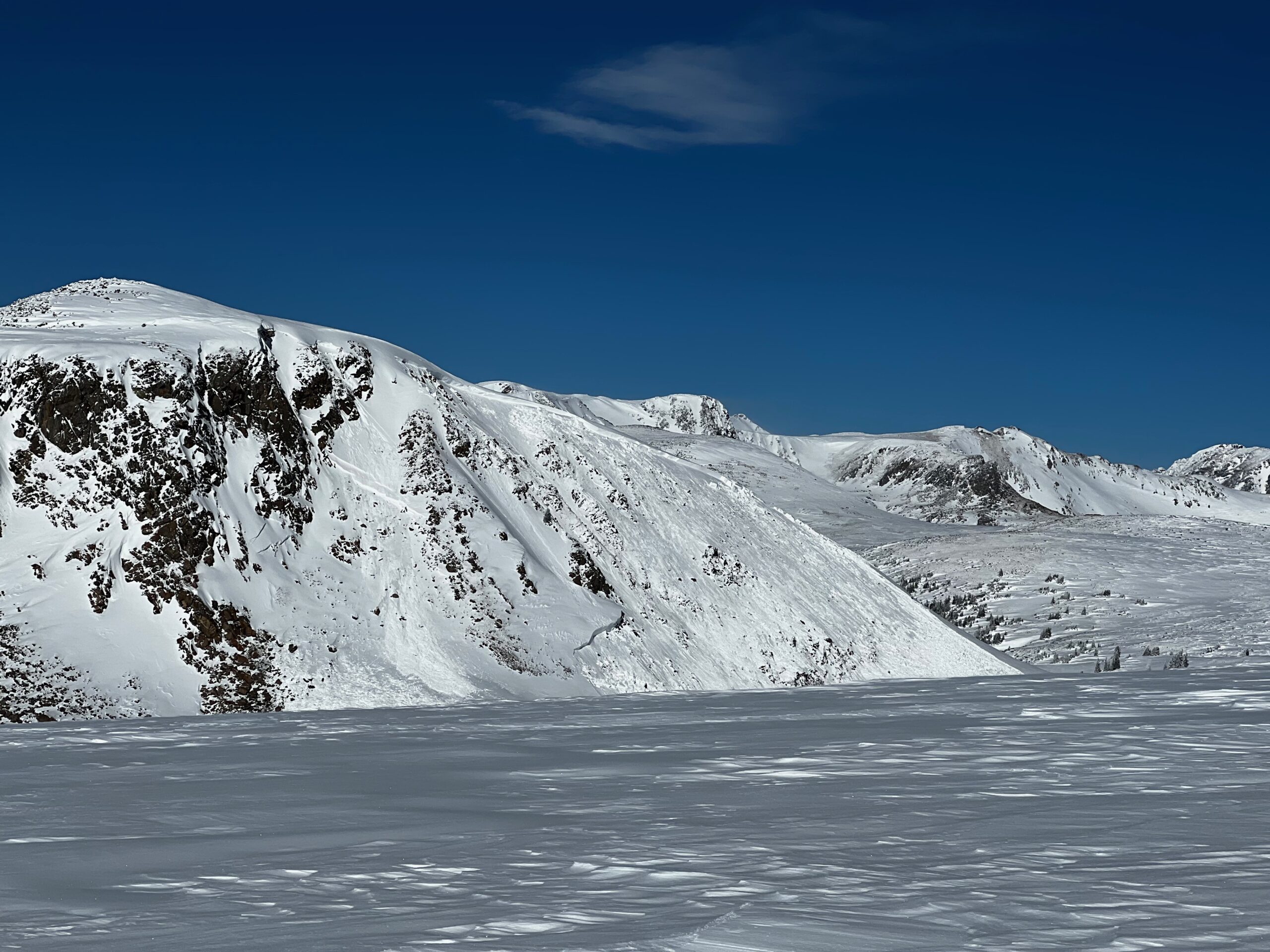
From typically late November to mid/late-April, expect winter/spring conditions with snow, snowdrifts, ice, and slush—suitable for snowmobiling. (Overall, expect winter/spring conditions and potential for avalanches through early summer.)
Please stay safe and be backcountry smart; avalanches and avalanche deaths occur on Rollins Pass. Be prepared and carry an avalanche transceiver, shovel, and probe—as well as an avalanche airbag—and know how to use each in an emergency. Snowmobiling tips on what to pack can be found here.
❄️ View CAIC Avalanche Backcountry Forecasts for the region encompassing Rollins Pass; official backcountry avalanche forecasts are issued each afternoon by 4:30pm daily from November through May. Per CAIC, “Each forecast will have avalanche danger ratings for three elevation bands and two days, as well as up to three avalanche problems…. The afternoon forecast will have this information for the following two days. So the forecast issued on Friday afternoon will have danger ratings and problems for Saturday and Sunday. Don’t worry, we’ll still be in the office each day at 4:00 AM. If it snows a lot more, or a lot less, than we expect, we’ll update the backcountry products. Whether you plan your backcountry outing over pint glasses or coffee mugs, there will always be a valid forecast.”
For more avalanche resources from CAIC, including how to find avalanche training courses, how to use the avalanche forecast, and other avalanche education resources, please tap here.
More Winter Resources: CAIC Avalanche Field Reports | CAIC Colorado Avalanche Accidents | CAIC Avalanche Explorer Map
Did you know this page also provides updates for the summer/autumn season on Rollins Pass?
Tap here to view the Snowmobile Use Map for the west side of Rollins Pass (Corona Pass West). Per Stay the Trail Colorado, these are the legal trails you can recreate on—anything off that is out-of-bounds. Please abide by these limitations for the benefit of our continued access.
Rollins Pass Avalanche Forecast Information
Recognizing Avalanche Hazard from the Colorado Avalanche Information Center
Obvious Signs of Instability: 1) Recent Avalanches: Avalanches are a sure sign of a dangerous snowpack. Fresh avalanches mean more are possible on similar terrain features. 2) Collapsing and Cracking: When you feel the snowpack collapse beneath you, it is a clear sign that you can trigger an avalanche. Avoid similar terrain features. These collapses often make a whumpfing sound and produce shooting cracks.
Factors that Increase Avalanche Danger (Red Flags): 1) New Snow: Most avalanches happen during and immediately following snow storms. 2) Recent Wind-Drifted Snow: Drifting snow can create dangerous conditions on wind-loaded slopes. 3) Rapid Thawing/Rain: Rollerballs, pinwheels, or a slushy snow surface are clear signs the snow is rapidly losing strength. The danger of a wet avalanche is increasing if you see any of these signs.
Ways to Reduce Your Risk From Avalanches: 1) Discuss the avalanche forecast and avalanche conditions with your group. Determine what terrain you will avoid on your trip. 2) Avoid travelling on or underneath slopes steeper than about 30 degrees if you see recent avalanches, cracking or collapsing, or any of the red flags. 3) Avoid travelling on steep open slopes with dense trees, rocks, gullies, or water bodies below them. 4) If you choose to enter avalanche terrain, expose only one person at a time to the avalanche hazard. 5) Do not stop or regroup in avalanche paths or runout zones.
Rollins Pass Route Information for Summer/Autumn
Per Stay the Trail Colorado, Motor Vehicle Use Maps (MVUMs) are the legal trails you can recreate on—anything off that is out-of-bounds. Please abide by these limitations for the benefit of our continued access.
Looking for satellite, wilderness, and motor vehicle maps of Rollins Pass? Check out our Rollins Pass Maps page.
Rollins Pass Road Status:
West (near Winter Park & Fraser)
Rollins Pass West Road Status:
- NFSR 149: in summer and early autumn (typically mid-June through late September), open from US Highway 40 to the parking area at the summit (Corona Townsite)—bidirectional
- NFSR 501.1: open in summer and early autumn (typically mid-June through late September)—bidirectional; permanent closure at NFSR 501, see below
- N76 Riflesight: in summer and early autumn (typically late June through late September), this adopted bidirectional trail is open for hiking/bicycles—motorized traffic is prohibited per MVUMs
Permanent Closures: Year-round closures to travel by wheel-to-ground vehicles per 36 CFR 261.54a (Forest Closure Order 10-00-03) include:
• NFSR 149: Permanent closure 1 mile south of Needle’s Eye Tunnel to the Continental Divide
• NFSR 501: Boulder Wagon [Road] from its intersection with the Rollins Pass Road at Yankee Doodle Lake west to a point 1/2 mile west of the Needle’s Eye Tunnel
No motorized route connects across the Continental Divide. Tap here to view the Motor Vehicle Use Map (MVUM) covering Rollins Pass West. Per Stay the Trail Colorado, MVUMs are the legal trails you can recreate on—anything off that is out-of-bounds. Please abide by these limitations for the benefit of our continued access.
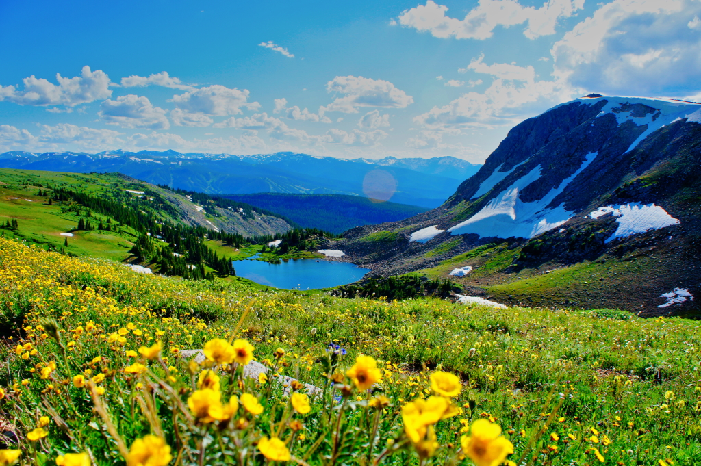
Typical Summer/Autumn Road Conditions: lower areas are mostly dry, dusty; some mud puddles and rivulets due to areas of rain/snowmelt; snowdrifts and slush at higher elevations
Rollins Pass Road Status:
East (near Rollinsville & Tolland)
Rollins Pass East Road Status:
- NFSR 149: in summer and early autumn (typically late June through late September), open from Tolland Road near the East Portal of the Moffat Tunnel to the blockade before Needle’s Eye Tunnel (overlooking Jenny Lake) at approximately 11,238 feet above sea level—bidirectional; permanent closure, see below
- NFSR 501: in summer and early autumn (typically late June through late September), open for bidirectional hiking/bicycles—motorized traffic is prohibited per MVUMs due to a permanent closure, see below
- NFSR 502: open in summer and early autumn (typically late June through late September)—bidirectional
- NFSR 808 (Jenny Creek Trail and spurs): open in summer and early autumn (typically late June through late September)—bidirectional; special note, permit required: a $25.25 off-highway vehicle permit must be displayed on any full size vehicle traveling #808.1 for recreational use, even if that vehicle has a currently registered license plate from Colorado or any other state/province.
Permanent Closures: Year-round closures to travel by wheel-to-ground vehicles per 36 CFR 261.54a (Forest Closure Order 10-00-03) include:
• NFSR 149: Permanent closure 1 mile south of Needle’s Eye Tunnel to the Continental Divide
• NFSR 501: Boulder Wagon [Road] from its intersection with the Rollins Pass Road at Yankee Doodle Lake west to a point 1/2 mile west of the Needle’s Eye Tunnel
No motorized route connects across the Continental Divide. Tap here to view the Motor Vehicle Use Map (MVUM) covering Rollins Pass East. Per Stay the Trail Colorado, MVUMs are the legal trails you can recreate on—anything off that is out-of-bounds. Please abide by these limitations for the benefit of our continued access.
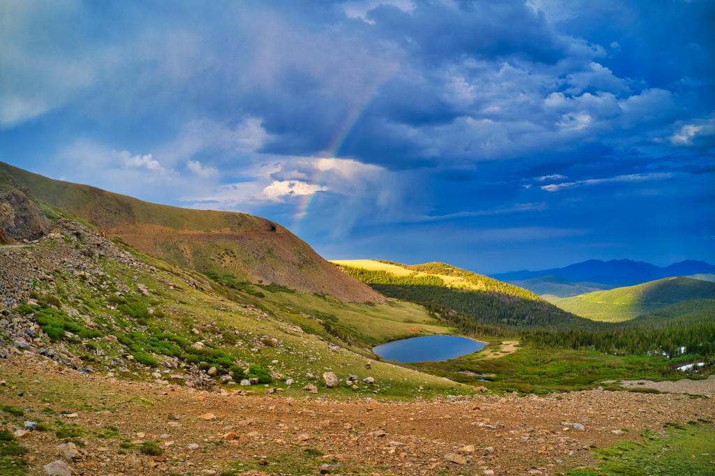
Typical Summer/Autumn Road Conditions: lower areas are mostly dry, dusty; some mud puddles and rivulets due to areas of rain/snowmelt; snowdrifts and slush at higher elevations
Rollins Pass Route & Driving Tips
- The Rollins Pass Road is closed to automobiles, ATVs, and motorbikes typically from November 15 through June 15, but high snow levels usually do not allow for access to the sub-alpine and alpine regions until late June or early July; autumn snowstorms can close the summit areas as early as the third week of September
- In mud, “if you leave a track, turn back” (deeper than 1 inch or more)
- Stay on the road while driving through snow
- A high-clearance, 4-wheel drive or all-wheel-drive vehicle is highly recommended
- Drive safely: many bicyclists, hikers, dog walkers, and horseback riders recreate on Rollins Pass
- There are many blind curves—expect a car, person, or animal around each one!
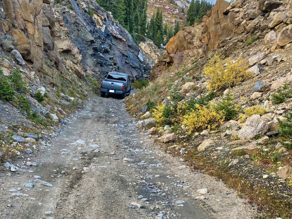
- Some sections of the pass are only wide enough for one vehicle (see photograph)
- Many sections on both sides of the pass are classified as a “shelf road”—the roadbed is cut/built into cliffs or other steep faces
- The vehicle heading downhill must yield to the vehicle traveling uphill
- Be prepared for rapidly changing weather conditions, no amenities, and no/limited cellular coverage
- Due to the presence of bear, moose, fox, coyote, mountain lion, and porcupine, it is recommended to keep your dog(s) on a leash
- Dogs must be on hand-held leashes at all times while in the Indian Peaks and James Peak Wilderness areas; failure to leash your dog may result in fines
- As indicated on Motor Vehicle Use Maps, the route across the venerable (and vulnerable) trestles has been closed to motor vehicles for over forty years, please help preserve these historic wooden structures—no motorbikes or ATVs. Per Stay the Trail Colorado, MVUMs are the legal trails you can recreate on—anything off that is out-of-bounds. Please abide by these limitations for the benefit of our continued access.
- Pursuant to Gilpin County ordinance (22-05), no parking is allowed on Gilpin County roads nor on Tolland Road within the boundaries of Tolland Ranch—the Gilpin County Sheriff will ticket your vehicle. Please also respect private property signs on the lower and middle portions of Rollins Pass East.
- The tundra is fragile and the history irreplaceable—stay on the road or pull-off in established dirt areas. Driving on and/or parking on dry grasses can start a wildfire: motor vehicle catalytic converters can reach temperatures of 1,200 degrees or more. Grass fires can travel at 14 miles per hour—and for every 10 degrees of slope, a wildfire can double in speed.
- Trail stewardship and etiquette tips can be found here and here
Trail Technical Ratings from OnX Offroad
From OnX Offroad, “The technical ratings listed below provide an idea of what you might encounter on a trail or road... trail conditions can change quickly and unexpectedly due to weather, closures, new obstacles, and other unforeseen events. Use your best judgment, know what your vehicle can handle and be safe. onX Offroad and its affiliates are not responsible for trail ratings, trail conditions, your driving ability or your skill level.“
- Rollins Pass West: (2/10) Easy: Dirt or rocky road, typically unmaintained after rain or snow. You may encounter shallow water crossings and obstacles under 12” on the trail, including small ledges. Roads are typically one to two vehicles wide.
- Rollins Pass East: (3/10) Easy: Uneven, rutted dirt trail with potential for loose rocks and sandy washes. Water crossings less than a foot deep. Potential for mud holes and trail obstacles up to 12”, including ledges and short, steep grades. Roads are typically one vehicle wide with places to pass.
- Jenny Creek Trail: (7/10) Advanced: Off-camber trail with deep holes and large rocks that may exceed axle height. Expect erosion, loose rocks, sand, washes, shelves, and deep mud holes. Obstacles and ledges up to 5 feet, and near-vertical grades 8-10 feet tall. Potential for water crossings with strong currents. Caution: Vehicle damage and roll-overs are possible.
This Rollins Pass Road Status (Corona Pass Road Status) page is provided as a courtesy to the visitor of Rollins Pass and is for informational purposes only. Information provided is done so on an “as is” basis, without warranty of any kind, either express or implied, including, without limitation, warranties of safety or fitness for a particular purpose. If there should be any discrepancy between any rules/regulations as presented on this site and on the US Forest Service site, then those found on the US Forest Service site takes precedence. The user of or visitor to this page specifically acknowledges and agrees that Preserve Rollins Pass is not liable for any conduct or misconduct of any visitor. While every effort is made to provide up-to-date information, the content and information on this page could be stale due to rapidly changing conditions or events: always consult official US Forest Service sources prior to heading to Rollins Pass and before leaving cellular coverage.
Have more questions? Need more answers? Check out our Frequently Asked Questions.
The primary purpose of our work is to inform the public.
