Rollins Pass Weather
Rollins Pass weather information, webcams, AWOS, and SNOTEL data
Rollins Pass weather, like many places in Colorado, changes constantly. Add to this, the complexity that Rollins Pass has no infrastructure: no electricity, no webcams, no AWOS sites, and no SNOTEL sites. However, reasonable guesses at the weather and conditions on Rollins Pass can be ascertained from nearby AWOS and SNOTEL sites as well as nearby webcams from Winter Park Resort, Berthoud Pass, Eldora, atop Dakota Hill near Rollinsville, and Nederland. We’ll walk you through how to interpret the data below to make reasonable guesses as to how much snow you can expect on either side of Rollins Pass as well as what the current weather might look like. SNOTEL data is updated hourly.
AWOS SITES: DAKOTA HILL AWOS (KC99)
The Dakota Hill Automated Weather Observing Station (AWOS) known as KC99 is located on the summit of Dakota Hill, north-northwest of Central City at an elevation of 10,938 feet above sea level. (On Rollins Pass East, this elevation corresponds to between Jenny Lake and the Forest Lakes Trailhead.) KC99 is located less than 4 miles away from the initial rung of Giant’s Ladder on Rollins Pass East and is approximately 8.25 miles southeast from the summit of Rollins Pass. The northwest camera provides the best view towards Rollins Pass; on very clear days, a portion of the top rung of Giant’s Ladder can be seen, as well as the summer snowpatch above Yankee Doodle Lake, Guinn Mountain, and the point around Needle’s Eye Tunnel. The west camera provides excellent views of James Peak on very clear days. The FAA’s page for the Dakota Hill AWOS also provides temperature, dew point, pressure, winds, visibility, ceiling, clouds, and more; camera views are updated several times each hour, with camera loops available.
If the content above appears as an empty box, view it on the Federal Aviation Administration’s website.
AWOS SITES: BERTHOUD PASS AWOS (K0CO)
The Berthoud Pass Automated Weather Observing Station (AWOS) known as K0CO is located on the summit of Mines Peak, approximately less than a mile (0.75) east of the Berthoud Pass summit at an elevation of 12,493 feet above sea level. (This is higher than Beacon Peak on Rollins Pass by a few hundred feet.) K0CO is located 10.5 miles north-northeast from the summit of Rollins Pass. The northwest camera provides the best view towards the general vicinity of Rollins Pass (although out of frame). The northeast camera provides the best look at weather in Winter Park and the Fraser Valley. The FAA’s page for the Berthoud Pass AWOS also provides temperature, dew point, pressure, winds, visibility, ceiling, clouds, and more; camera views are updated several times each hour, with camera loops available.
If the content above appears as an empty box, view it on the Federal Aviation Administration’s website.
SNOTEL SITES: WEST OF THE CONTINENTAL DIVIDE | BERTHOUD SUMMIT—SNOTEL 335 AT 11,300 FEET IN ELEVATION
How should you interpret this data, below? For example, if the SNOTEL data from neighboring Berthoud Pass shows a snow depth of 59 inches and a snow water equivalent of 15.0 inches of water, this means that you could reasonably expect to find nearly five feet of snow (4.92 feet) and when it melts, it can generate 15.0 inches of water—so a lot of persistent mud—at 11,300 feet on Berthoud Pass. Approximately 9.08 miles away on Rollins Pass West, the elevation of 11,300 feet is found between Sunnyside yet below Ptarmigan Point.
The data provided at this link is updated hourly and displays a rolling 14-day period with the most recent data at the bottom. Air temperature observed can be found in the right column as well—this is from that same elevation and tends to be more accurate than commercialized weather sites.
SNOW WATER EQUIVALENT
SNOW DEPTH
SNOTEL SITES: EAST OF THE CONTINENTAL DIVIDE | LAKE ELDORA—SNOTEL 564 AT 9,700 FEET IN ELEVATION
How should you interpret this data, below? For example, if the SNOTEL data from neighboring Lake Eldora shows a snow depth of 36 inches and a snow water equivalent of 10.1 inches of water, this means that you could reasonably expect to find three feet of snow and when it melts, it can generate 10.1 inches of water—so a lot of persistent mud—at 9,700 feet on Lake Eldora. Approximately 2.18 miles away on Rollins Pass East, the elevation of 9,700 feet is found roughly at the start of the third rung of Giant’s Ladder.
The data provided at this link is updated hourly and displays a rolling 14-day period with the most recent data at the bottom. Air temperature observed can be found in the right column as well—this is from that same elevation and tends to be more accurate than commercialized weather sites.
SNOW WATER EQUIVALENT
SNOW DEPTH
WEBCAMS: EAST OF THE CONTINENTAL DIVIDE | NEDERLAND AT 8,236 FEET IN ELEVATION
Be sure to click ‘Play’ on each video as the static image shown is not always current. While more than 1,000 feet in elevation below the entrance of Rollins Pass East, this webcam at Busey Brews Smokehouse & Brewery in Nederland, Colorado provides a good look at the current weather conditions for the east side of the Continental Divide.
WEBCAMS: EAST OF THE CONTINENTAL DIVIDE | ELDORA SKI AREA AT 9,370 FEET IN ELEVATION
WEBCAMS: EAST OF THE CONTINENTAL DIVIDE | BETWEEN ROLLINSVILLE & NEDERLAND AT APPROXIMATELY 8,434 FEET IN ELEVATION

WEBCAMS: EAST OF THE CONTINENTAL DIVIDE | THORODIN MOUNTAIN LOOKING WEST TOWARDS THE CONTINENTAL DIVIDE
When the camera’s orientation is west, James Peak is the most prominent peak in the view; Rollins Pass is located to the right (north) of James Peak.
WEBCAMS: WEST OF THE CONTINENTAL DIVIDE | BERTHOUD SUMMIT AT 11,306 FEET IN ELEVATION

WEBCAMS: WEST OF THE CONTINENTAL DIVIDE | LUNCH ROCK CAMERA AT 11,211 FEET IN ELEVATION AT WINTER PARK RESORT
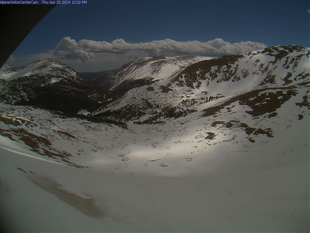
WEBCAMS: THE CONTINENTAL DIVIDE | ALPINE VISITOR CENTER, ROCKY MOUNTAIN NATIONAL PARK AT 11,796 FEET IN ELEVATION

NEED EVEN MORE DETAIL?
Looking for details on what the road looks like for the season? Check out our Rollins Pass Road Status page.
The primary purpose of our work is to inform the public.

